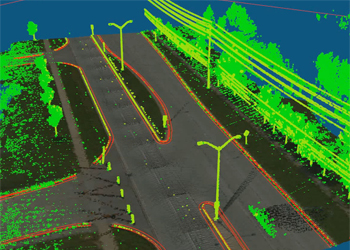
The Mobile LiDAR scanner collects data in the form of point cloud which is termed in .LAS format.
Point clouds can be defined as the dense set of points obtained through laser scanners.
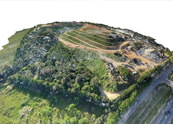
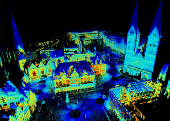
These point clouds contains information about the Topography that is surveyed.
The point clouds are textures as per the real world feature characteristics.
LiDAR data collected during surveying must be processed to use it for further feature extraction and analysis purpose. Dense point clouds reflected from the target forms the LiDAR data. The very first step is to register the point clouds in the real-world coordinates. This data shall help global firms in informed decision making.
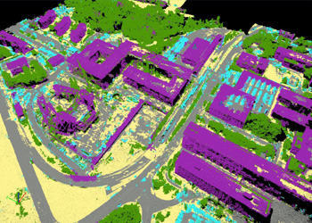
SSGIS specialize in the pre-processing of MLS point cloud data. We provide the services of,
Bare Earth Classification
Advanced Classification
Feature classification
LiDAR data collected during surveying must be processed to use it for further feature extraction and analysis purpose. Dense point clouds reflected from the target forms the LiDAR data. The very first step is to register the point clouds in the real-world coordinates. This data shall help global firms in informed decision making.
SSGIS specialize in the pre-processing of MLS point cloud data. We provide the services of,
Bare Earth Classification
Advanced Classification
Feature classification